
|
U. S. CIVIL WAR
PHOTOGRAPHS
|

|
THE WILDERNESS
(PAGE 5 OF 12)
 Click on a number on this map to see a photograph from that location.
The numbered locations on this map are shown in parentheses ( � ) in the text.
| |
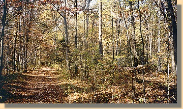
In the initial encounter, Ewell's Confederate troops were forced back, but
eventually re-gained the ground they lost and then entrenched (9).
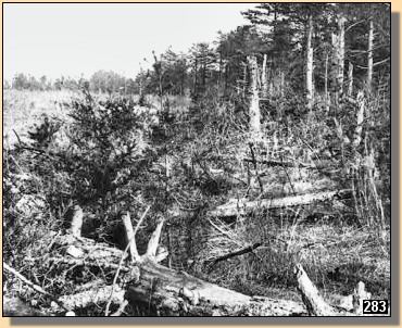
Confederate Earthworks (Looking South) - 1860s. (9)
Near the Orange Turnpike. Saunder's Field is to the left
Ewell's Corps Earthworks (Looking South) (9)
Saunder's Field is to the left
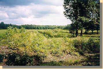
Photograph taken south of the Orange Turnpike - 2000
Another view of Ewell's Corps Earthworks (Looking South)
Saunder's Field is to the left
Photograph taken south of the Orange Turnpike (9)
Ewell's Corps Earthworks (Looking North). (9)
Saunder's Field is to the right
Photograph taken north of the Orange Turnpike - 2000
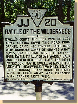
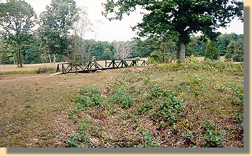
State Sign at Ewell Earthworks - 2000 (9)
|
|
PAGE SIX
 >
Photos
>
The Wilderness
>
Page 2
>
3
>
4
>
5
>
6
>
7
>
8
>
9
>
10
>
11
>
12
>
Photos
>
The Wilderness
>
Page 2
>
3
>
4
>
5
>
6
>
7
>
8
>
9
>
10
>
11
>
12
Notes
|
|
