
|
U. S. CIVIL WAR
PHOTOGRAPHS
|

|
NORTH ANNA
(PAGE 2 OF 3)
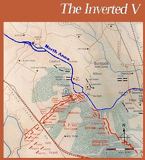
North Anna Park Map
| |
Although this image is hard to read, the North Anna River (blue)
and the Confederate inverted "V" (red) clearly illustrate that
once Grant divided his army to attack Lee on both sides of
Lee's lines, either side of Grant's army would have had to cross
the North Anna twice in order to support the other, while
Lee, having inside lines, could have easily shifted forces to
concentrate on an attack against either part of Grant's army.
Grant fell for it, but Lee was too sick to give the order to
attack. When Grant realized his situation, he withdrew his
troops back across the river and abandoned North Anna. Why Lee
did not confide in his subordinates, so that, if he were ill,
they would issue the attack command is another story.
|
|
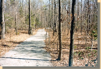
Park Trail
You are inside the Inverted "V". The western
Confederate Earthworks are just to the left.
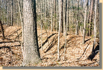
Confederate Earthworks
Western side of the inverted "V".
(Looking the opposite direction on the
trail, compared to the photograph above.)
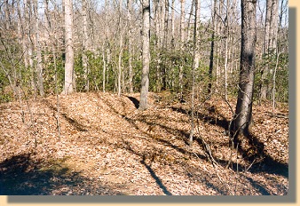
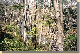
Point of the inverted "V"
| |
Although the earthworks are not too clear, this is the point where the two
Confederate lines converge in front of the North Anna River.
|
|
View of the North Anna River from the "Point"
of the Confederate inverted "V".
PAGE THREE
 >
Civil War Photos
>
North Anna
> Page 2
>
3
>
Civil War Photos
>
North Anna
> Page 2
>
3
|
|
