USA Civil War Website

USA Civil War Website
Discover The Civil War

Site Notifications
Home » U. S. Civil War Photographs - Fredericksburg Page 5


Union Flag Carrier U. S. CIVIL WAR
PHOTOGRAPHS
Confederate Flag Carrier

FREDERICKSBURG
(PAGE 5 OF 8)


Sunken Road Map
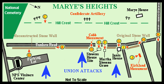
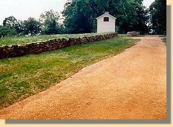
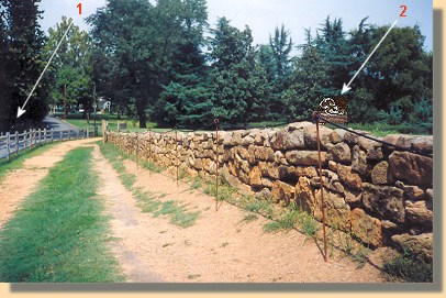
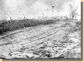
Map of Marye's Heights and the Sunken Road.
The map is revised to reflect the closing of the Sunken Road
and the addition of a photograph of Hanover street.
(The circled letters indicate where and in what direction the photographs were taken.)
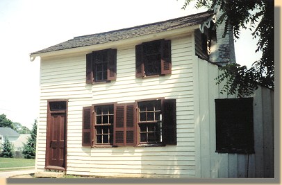

Innis House
The Innis House   (G)

Innis Plaque
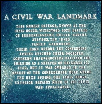
Innis House Plaque   (G)

Stone Wall 1863 22 Real Wall
 
A section of the original Stone Wall as it appeared in 1863 and 2005.  
These photographs were taken towards the Innis house.

The 2005 photograph, above, was taken after the road was reconditioned by the National Park Service. (Compare this photograph with the 2002 photograph below)


 Original Stone Wall
Original Stone Wall - Another View - 2002   (I)

This photograph was taken from beside the Innis House.

Arrow #1 indicates the location from which the photographer took the 2005 photograph (above, right) towards the Innis house. Arrow #2 marks the Kirkland Monument (below).


Kirland Monument
Richard R. Kirkland Monument - 2004   (J)

A monument to South Carolina's Sergeant Richard R. Kirkland, who risk his life to carry water to the Union wounded and dying after the battle.


Hanover Street
Hanover Street - Looking towards the river - 2005   (K)

The Sunken Road no longer connects to Hanover Street (See map above). The location of the Sunken Road's previous intersection with Hanover Street is marked on this photograph with an A .


FREDERICKSBURG - PAGE 6


Home > Civil War Photos > Fredericksburg > Page 2 > 3 > 4 > 5 > 6 > 7 > 8

Notes


Copyright © USA Civil War.com, 1998 - 2024.