|
USA Civil War Website |

|
||||||
| Home » U. S. Civil War Photographs - Malvern Hill - Page 2 | ||||||||
MALVERN HILL (PAGE 2 OF 4) 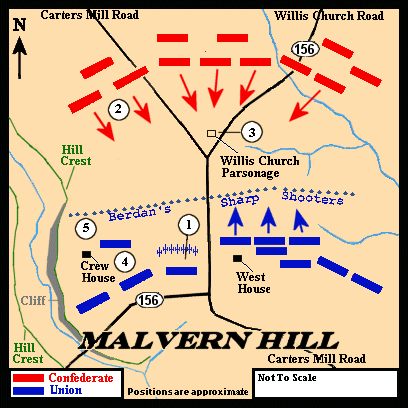
Malvern Hill The circled numbers on this map indicate the locations from which the photographs in this section were taken and refer to the numbers in parentheses ( ) at the photographs. 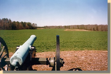
Malvern Hill - Union View - 1999.(1) 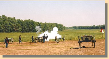
Cannon Demonstration - 1998.(1) 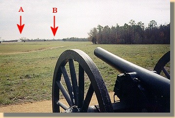
Malvern Hill - Confederate View - 2001.(2) Location of the West House (on the Union line) is indicated by arrow A. The N.P.S. Visitor's shelter is indicated by arrow B.
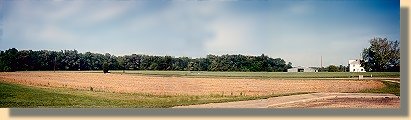
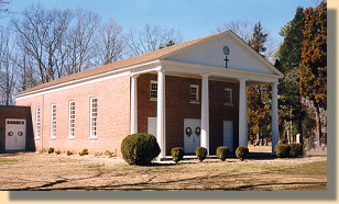
Malvern Hill - Looking East from N.P.S. Visitor's Shelter Parking Lot - 2002. (4) The white house, on the right, is near the wartime location of the West House. PAGE THREE |
|
|||||||